Overview
Director Zephyr Frank reviews the work of the Stanford Spatial History Project at the Atlanta Studies Symposium at Emory University on April 26, 2013. As he ponders the possibilities and challenges of spatial depictions using Historical Geographic Information Systems (HGIS), Frank offers examples of visualizations produced for research in Rio de Janeiro, Brazil.
Presentation
Part 2: Frank provides an overview of the Stanford Spatial History Project
Part 3: Frank discusses creating visualizations that evoke patterns and varieties of spatial mobility, consciousness, and power
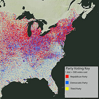
Part 4: Frank demonstrates the possibilities of HGIS using visualizations from his Terrain of History project
About the Author
Zephyr Frank is associate professor of Latin American History at Stanford University, the director of the Spatial History Project, and the principal investigator on the Terrain of History project. He teaches modern Brazilian history, with an emphasis on urban life, economic development, and cultural change in 19th-century Rio de Janeiro. He is the author of Dutra's World: Wealth and Family in Nineteenth-Century Rio de Janeiro and co-editor of From Silver to Cocaine: Latin American Commodity Chains and the Building of the World Economy.
Recommended Resources
de Certeau, Michel. The Practice of Everyday Life. Translated by Steven Rendall. Berkeley: University of California Press, 1984. First published in 1980.
Frank, Zephyr. Dutra's World: Wealth and Family in Nineteenth-Century Rio de Janeiro. Albuquerque: University of New Mexico Press, 2004.
———, "Layers, Flows and Intersections: Jeronymo José de Mello and Artisan Life in Rio de Janeiro, 1840s–1880s," Journal of Social History 41, no. 2 (Winter 2007), 307–328.
Simmel, Georg. "The Metropolis and Mental Life." Translated by Edward A. Shils. In On Individuality and Social Forms: Selected Writings, edited by Donald N. Levine, 324–339. Chicago: University of Chicago Press, 1971. First published in 1903.
Links
The Spatial History Project
http://spatialhistory.stanford.edu.
Center for Spatial and Textual Analysis
http://cesta.stanford.edu.
Projects
The Terrain of History: Spatial History of Rio de Janeiro, 1840s–1930s
http://www.stanford.edu/group/spatialhistory/cgi-bin/site/project.php?id=999.